|
|
|
Triad Highways
|
The many cities and towns of the Piedmont Triad area are linked together through a series of roads and highways that make getting through and adventure in itself. This is the only place in the state of North Carolina that has two regular interstates (40 and 85), two "green" or Business Interstates (40 and 85 again), two future interstates (43 and 74), plus a future interstate loop (840) and spur (785). Throw in the usual mix of U.S. and NC routes, and you've got yourself the traffic equivalent of organized chaos.
To that end, I offer you this page highlighting the oddities and idiosyncracies of highway travel in Greensboro, Winston-Salem, High Point, and other places throughout the Triad. A word of warning: this is definitely not for the weak of heart. If you can handle it, then strap yourself in, hold on real tight, and enjoy the ride!!
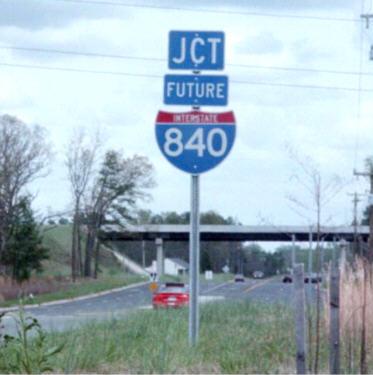
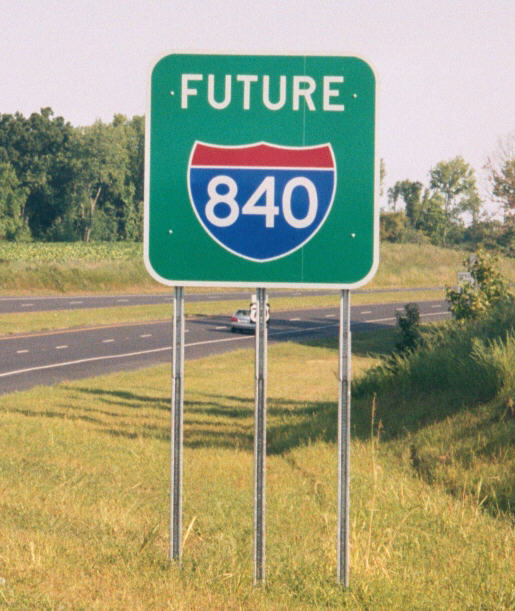 These "Future 840" signs mark the first stretch of Painter Boulevard, located just outside Greensboro. This stretch of highway opened in mid-2002 from I-40/85 to US 70. I-840 will eventually be designated as the northern half of the Greensboro Beltway. For more information, click here. The picture to your left, which is located on US 70 East near I-840's northern terminus, was taken in April 2002 during the NC Roadgeeks meeting there. The one to the right was taken just as I got off I-40/85 to take a spin on the new highway while passing through on my way to Asheville back in August of that same year. |
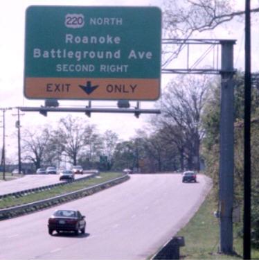
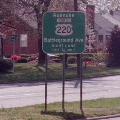
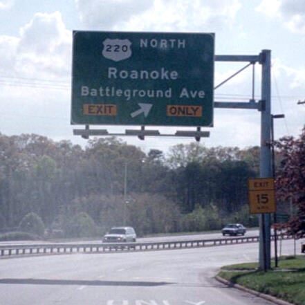
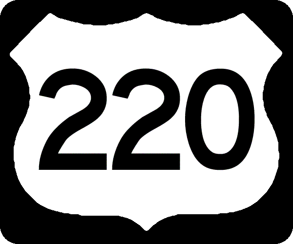
These three pictures are near where US 220 leaves Wendover Avenue and continues onto Battleground Avenue in Greensboro. The sign to your left is a fairly typical overhead BGS (big green sign), the one in the middle is a classic button copy BGS that has a cutout shield of 220 on it, and the one on the right is a rather old-style BGS with a rather funky-looking shield for 220. The amount of signage for this intersection is almost a sure-fire guarantee that you can't possibly get lost while trying to stay on 220. Comes in handy as you're headed on your way towards Roanoke, VA. |
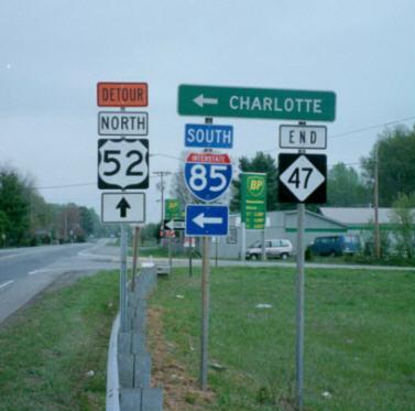
I pulled off I-85 in between my travels from Charlotte to Greensboro to get a nice shot of this rather interesting highway marker combination. This picture was taken near the community of Linwood in western Davidson County, just past the point where I-85 and US 52 diverge. Strangely though, this section of road was designated as a Detour Route of 52 when I was here back in April 2002. |
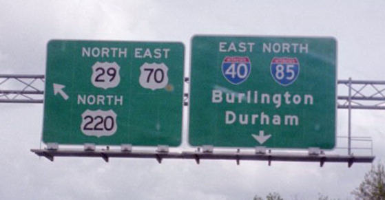
Here we have a BGS directing motorists onto the US 29-70-220 mulitplex from I-40/85. The highway is also known as O. Henry Blvd. US 421 used to be on the same road, since there is an empty spot where the 421 sheild used to be. Now it goes along I-40 through Greensboro towards Winston-Salem. |
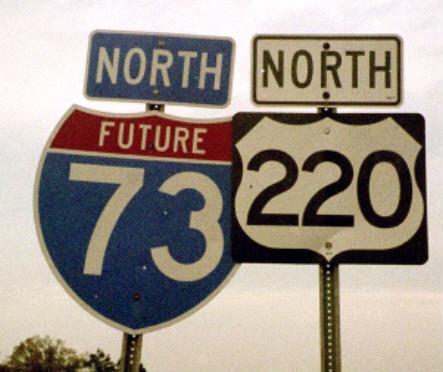
These Future I-73 shields can be spotted along US 220 from I-40 near the Four Seasons Towne Center in Greensboro all the way down south towards Rockingham. This particular route is slated to pass through the western and southwestern parts of the city before heading north into Virginia. While its given route from here to Rockingham is pretty much a given at this point, what happens from here on north is still pretty much up in the air. |
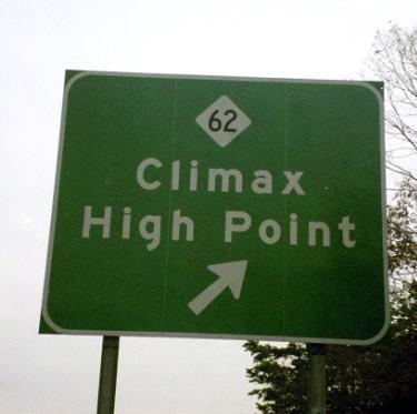
Highway 62 does lead to some, er, um, rather interesting places. I'm told there's some hidden message here, but can't quite put it in the right context. Hhhmmmmmm ... |
Highway shield images courtesy of David Kendrick's Shields Up!
Back to Carolina Road Signs main page